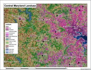
In Applied GIS (GEOG 204), we used ArcMap to create different kinds of maps for different purposes. We used the data visualization and processing tools of the program to map out patterns in data that may not have been as easily seen in raw form. We also created maps that served for information or aesthetic purposes.
For my final project, I worked with other students in my culminating experience geography class to create mapping infrastructure for the officials of Mt. Carmel to organize and visualize blight in the town. We set up a map for them to use the Esri Collector app to be able to enter new data while out in the field. Additionally, we provided a how-to guide for them to learn how to use it.
This class introduced me to new forms and kinds of mapping. I had never before used mapping programs for data processing. It also taught me about the importance of creating visually appealing and accessible maps.